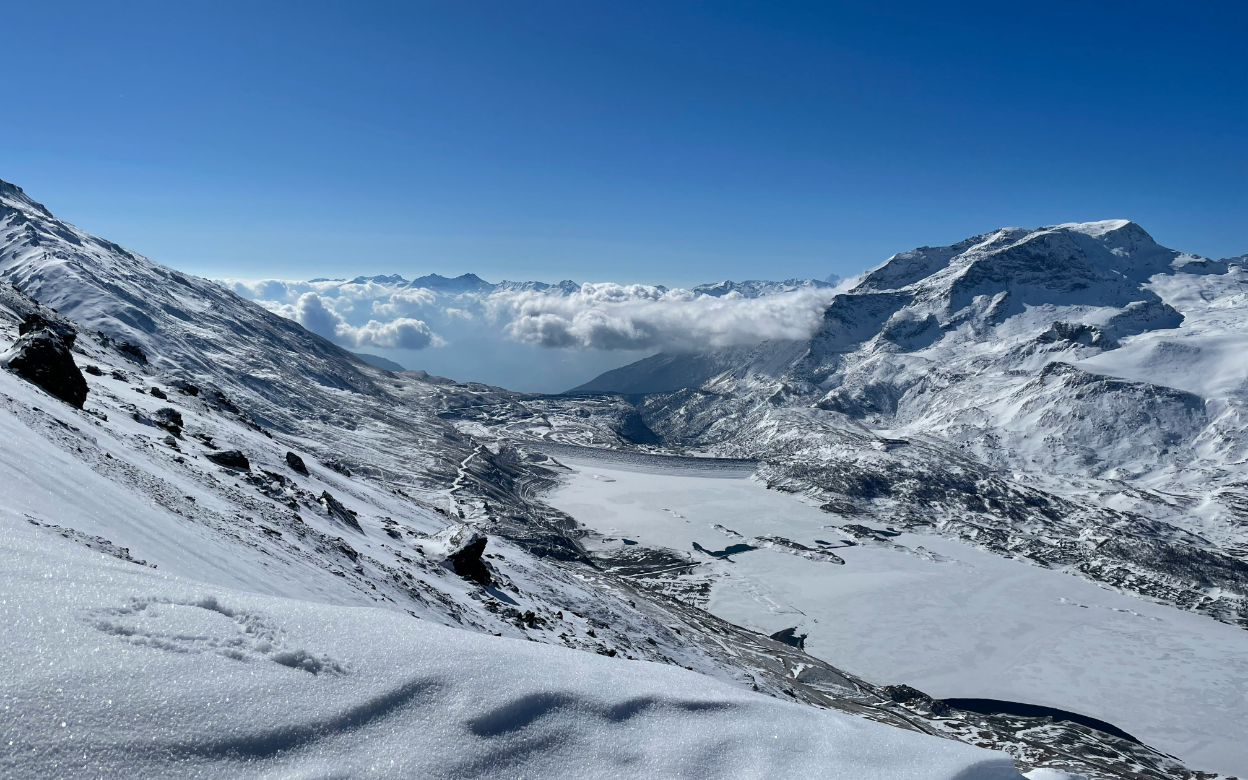
Val Cenis
Val Cenis follows the Haute Maurienne road through 125 km of piste, linking Lanslebourg, Lanslevillard and Termignon between 1,400 m and 2,800 m. The area sits on the edge of the Vanoise National Park, and from the top you can see across to Italy over the Mont Cenis pass. It is a medium sized resort that feels local more than international: the villages are working communities, the lift pass is cheap, and most of the runs are wide blue and red lines through the trees. Families get short queues and gentle terrain, and there is enough off-piste above Lanslevillard to keep better skiers interested for a few days. The trade-offs are low altitude at village level, a short season at the bottom and almost no nightlife.
Resort Map
Resort information
Links
Public Transport
Lift Passes
There are 2 lift passes available.
Name Description Price
Val Cenis 1 day
1 day lift pass for Val Cenis
50EUR
Val Cenis 6 days
6 days lift pass for Val Cenis. (Dynamic price, Feb 2027 sample)
284EUR
Medical Centres
Runs & Lifts
Difficulty Name Length
Aiglon
0.8km
Alpages
0.3km
Arcelle
1.1km
Arcellins
0.9km
Bec rouge
0.9km
Bleue du Lac
2.6km
Bois des coqs
2.1km
Cembros
1.0km
Chamois
1.9km
Clot
0.6km
Côte Essasarts
0.4km
D 1006
0.2km
Escargot
8.8km
Essarts
0.5km
Familiale
1.2km
Féma
0.7km
Flambeau
2.5km
Forestière
0.1km
Fort
0.8km
Girarde
1.2km
Grande Combe
0.9km
L'Arcelle
2.5km
L'Écureuil
0.8km
La Forestière
4.5km
La Moraine
0.5km
Le Goulet
0.8km
Le Mollard
1.2km
Le Petit Bonheur
1.5km
Les Cupules
1.7km
Les Terres Grasses
1.0km
M. Jacot Solert
0.8km
M.J. Berche
0.5km
M.J. Solert
0.4km
Madeleine
1.6km
Marmotte
0.5km
Met
0.9km
Miaille
1.1km
Michèle Jacot de la Met
1.1km
MJ St.Genix
1.1km
Mont Cenis
1.3km
Nunda
0.9km
Ouillon
0.3km
Petite combe
1.3km
Petits Loups
0.9km
Pré Novel
0.4km
Québecoise
1.7km
Ramasse
1.3km
Relais
0.9km
Rhodos
1.8km
Sablons
0.4km
Sangliers
0.5km
Solert
0.5km
Termignon
1.2km
Tetras
2.3km
Tomba
0.9km
Traverse
4.1km
vers la berche
1.0km
Vers le Mont Cenis
0.8km
Villeneuve
0.3km
There are 59 named pistes totaling 75km, with the longest slope being Escargot. Val Cenis's skiable area is around 56km².
Type Name Distance
Arcelle
1778m
Arcellins
1824m
Buffa
263m
Colomba
1056m
École
33m
Essarts
453m
Féma
683m
Girarde
1304m
Grand Coin
1503m
Lac
1418m
Madeleine
166m
Marmotte
42m
Marmottons
190m
Met
1075m
Mont Cenis
1166m
Piou Piou
26m
Plan Cardinal
1006m
Plan des Champs
446m
Pont des Chèvres
981m
Pont Noir
181m
Pré Novel
498m
Ramasse
2236m
Roches Blanches
1377m
Sablons
91m
Saint-Pierre
362m
Solert
1217m
Sources
890m
Tannes
880m
Terres Grasses
151m
Turra
1647m
Val Cenis le Haut
645m
Vieux Moulin
2061m
There are 32 lifts in Val Cenis
Getting there
flight Plane
directions_car Car
train Train
Land At
Distance to resort
Transfer Time
Turin Airport
112.6km
121min
Chambéry Aix les Bains airport
136.9km
118min
Annecy Meythet airport
177.2km
141min
Geneva International Airport
220.6km
174min
Lyon Saint-Exupéry Airport
224.4km
165min
Milan Malpensa International Airport
233.5km
193min
Drive From
Distance
Travel Time
Turin
101.7km
122min
Grenoble
159.2km
132min
Geneva
212.9km
171min
Train station
Distance
Average Time
Torino Porta Susa
108.4km
141min
Lyon Part-Dieu
217.1km
233min
Milan Malpensa International Airport
230.7km
463min